Staff Profile
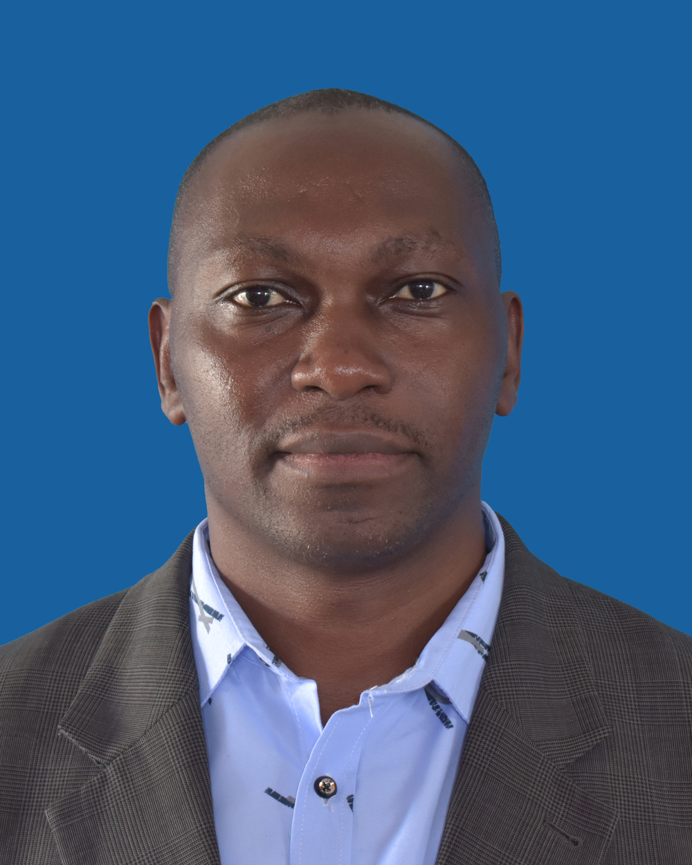
Prof Canute Hyandye - Associate Professor
- chyandye@irdp.ac.tz
- (+255) 769 777 715
Area of Expertise
Environmental Science and Engineering. Certified by IFAD/FAO as a Multidimensional Poverty Assessment Tool (MPAT) designer expert, enabling him to integrate poverty analysis with environmental and development planning.
Work Experience
Canute Hyandye (Ph.D.) works as an Associate Professor in the Department of Environmental Planning of the Institute of Rural Development Planning. He is an Environmental Scientist and Engineer with 14+ years of experience as a researcher, trainer, and consultant in the field of Remote Sensing and GIS applications in various fields, including natural resources assessment, eco-vulnerability assessments, environmental management, and planning. He is also a registered environmental expert for the National Environmental Management Council (NEMC) – Environmental Auditing.
Prof. Hyandye also has wide international experience across China, Japan, Ethiopia, Kenya, Uganda, and Mozambique, contributing to environmental research, training, and consultancy in diverse African and Asian contexts.
Professional Skills
- Trainer, consultant, editor, and contributor to national planning resources, actively shaping sustainable environmental policy and research in Tanzania.
- Modelling and evaluation of ecological and hydrological processes of watersheds
- Wide knowledge of Basin water resources, including the Nile Basin and the Great Ruaha Basin. Provided professional expertise in the modelling of East African Community Water Vision: Regional Scenarios for Human-Natural Water System Transformations
- Extensive skills in using the Integrated Decision Support System (IDSS) tool for environment management using the Soil and Water Assessment Tool (SWAT).
- Wide experience (since 2007) in satellite data acquisition, processing, information extraction, and analysis for various purposes such as land use/cover changes, ecological vulnerability evaluation, and resource mapping.
- Natural resources data collection in remote areas of Tanzania, China, Kenya, and Ethiopia using modern Geospatial data collection technologies.
- Processing and statistical analysis of Bio-Geo-Science data. Also, effective in writing and presenting complex scientific research results in a clear and succinct manner
- Designing online mobile data collection platforms using the most current technologies, i.e., Survey Solutions and OpenDataKit (ODK).
- Wide knowledge and skills in the use of professional software such as ArcGIS Desktop, ArcView, IDRISI Selva, ERDAS Imagine, Java OpenStreetMap (JOSM), and tools such as Google Earth and GPS for natural resources mapping, assessment, and management.
- Experienced in the use and applications of statistical packages such as SPSS, Statistic, and R-Statistical Software for data mining and performing complex statistical analysis, such as Principal Component Analysis, Hierarchical Cluster Analysis, and Multinomial Linear Regression.
Research and academic Interests
The main research and academic interests are in geospatial technologies, water resources, environmental pollution and control, resource mapping, cleaner production, water and sanitation, climate change adaptation and mitigation, rural energy sources and utilization, ecological vulnerability assessments, land use changes and climate modelling as well as innovation and entrepreneurship for wealth creation.

Publications
 Register Now
